
Terra-i is supporting sustainable development in Loreto, Peru and Caqueta, Colombia


On the 13th of March 2015, in Iquitos, Peru, was launched the project “Sustainable development options and land-use based alternatives to: enhance climate change mitigation and adaptation capacities in the Colombian and Peruvian Amazon, while enhancing ecosystem services and local livelihoods (or ”Sustainable Tropical Landscapes” for short reference). The International Centre for Tropical Agriculture (CIAT) is the leading institution of this initiative and Terra-i will be an active partner in this project.

Marcela Quintero, project leader at CIAT, presenting Terra-i during the project launch event in Iquitos.
This Project aims to assist national and sub-national environmental authorities and local farmers in Colombia and Peru, through a multi-level approach, to enhance their adaptive and mitigation capacities in the Amazon by:
l. providing national authorities with validated land-use options, designed in cooperation with rural communities, that contribute to the design of low-carbon development, and climate change mitigation and adaptation strategies.
ll. enhancing country capacity to assess cost-efficiency of the adoption of these options in terms of improving adaptive capacity while providing other co-benefits (i.e. carbon sinks enhancement, protection of natural forests and water ecosystem services of importance for local livelihoods).
lll. improving the capacity to monitor land cover changes in order to assist the monitoring of the effectiveness of land-use based mitigation and national adaptation plans in Peru; and
lV. identifying the likely pathways the countries may take towards sustainability in terms of ambitious climate protection and around which the mitigation-adaptation land-use options might be framed.
CIAT will be implementing this project in partnership with the Potsdam Institute for Climate Impact Research (PIK) [based in Germany], Instituto Amazónico de Investigaciones Científicas SINCHI (based in Colombia), the Centre for Research and Sustainable Production Systems CIPAV (based in Colombia), the Universidad de la Amazonia (Colombia), Instituto de Investigación de la Amazonía Peruana (IIAP) and the Universidad Nacional de La Molina (UNALM) in Peru.
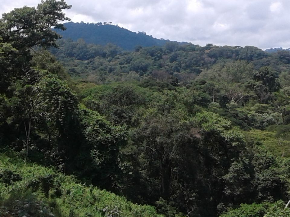
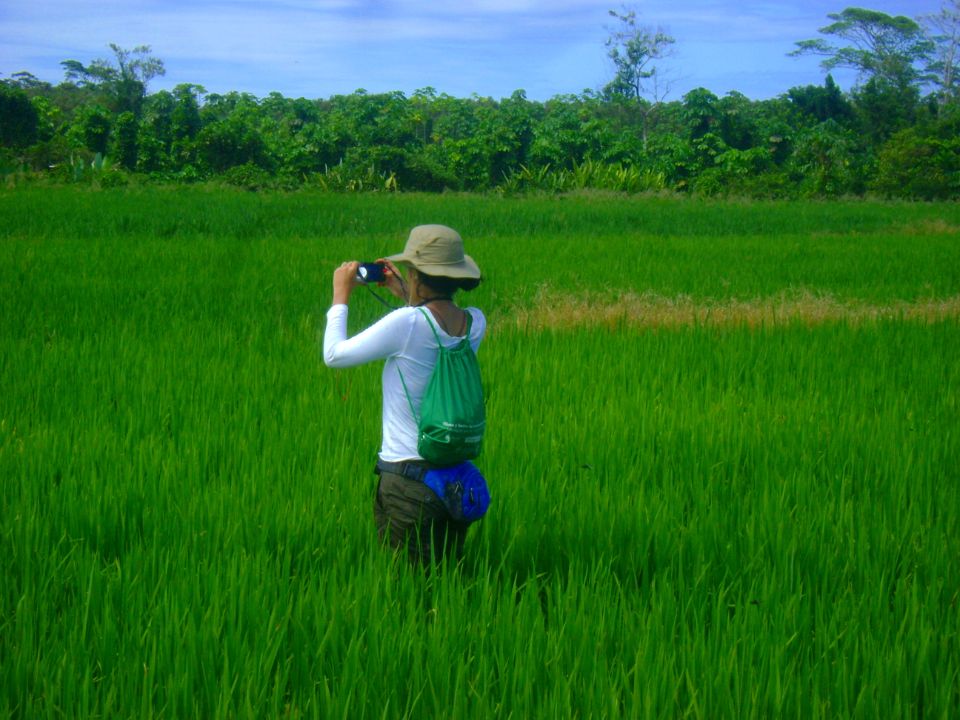
Between the 10th and 13th of March 2015, a team of 15 scientists from IIAP, UNALM and CIAT attended a series of meetings and field trips in Tarapoto, Yurimaguas and Iquitos in the region of Loreto, Peru. During the field trips, the team had the chance to meet with local farmers who presented their activities (oil palm, palmito, cacao, papaya…), gave initial information about the practices they implement and shared their preoccupations.

Local farmers presenting their activities and practices to the team.
This short trip in the Peruvian Amazon ended in Iquitos where the project was formally launched in front of a panel including local authorities together with scientists of local universities and research institutes. The following discussion showed the potential of sustainable land use based alternatives and highlighted the crucial role played by the restoration of degraded lands in the process of decreasing deforestation rates in the region.
Terra-i will actively participate to this project. The first main task that our team will implement is to define the historic deforestation rates, drivers and patterns in the studied area. We will then assess the impact that infrastructures, such as roads, have had on natural ecosystems. Based on this information, we will generate maps of risk of future deforestation under different scenarios as it was done in Guyana [http://www.terra-i.org/news/news/What-future-will-Guianan-forests-face-with-upcoming-road-infrastructure-projects-.html].
Furthermore, a work of field based validation will be undertaken in Yurimaguas. This work will involve the participation of CIAT scientists together with the support of IIAP, UNALM and potentially the General Direction for Land Management (DGOT). During this work, a series of sites will be thoroughly visited first to check the validity of Terra-i detections and additionally to instigate what were the drivers that led to the observed land use changes.
Finally, the Terra-i team will organize a workshop including a detailed presentation of the tool and its results in Peru as well as a capacitation on how those results can be efficiently analysed and interpreted.
As recently shown [http://news.mongabay.com/2014/1203-peru-deforestation.html], the conversion of natural ecosystems for agricultural activities is accelerating in the region. Nonetheless, we believe that the implementation and building capacities with local stakeholders on sustainable land-used based alternatives and the restoration of degraded lands are promising options for the mitigation of the rate of natural habitats loss.

Reforestation project recently implemented nearby the road between Tarapoto and Yurimaguas with the support of the Peruvian Ministry of Environment (MINAM).


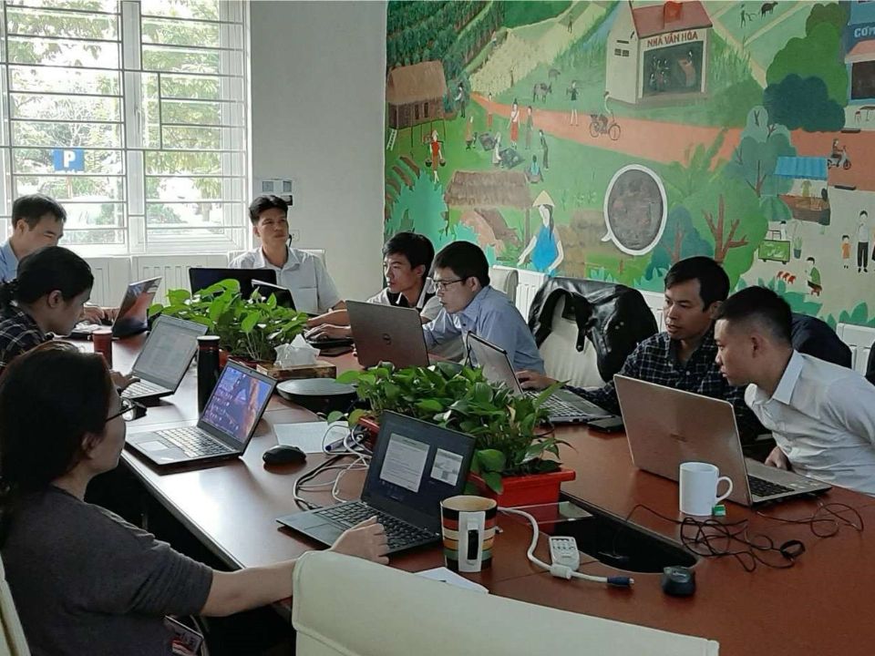
The Terra-i team together with CRS El Salvador under the Raices project carried out a virtual workshop through the teams platform to technicians from the Ministry of Environment and Natural Resources, CARITAS, Universidad El Salvador, CENTA, about the Mapping of land cover using remote sensors and open source tools such as GEE, SEPAL and QGIS- Plugin Semi Automatic Classification.

Near real-time vegetation loss detection in Southwestern Ethiopia: calibration, validation, and implementation of the Terra-i system

The Alliance of Bioversity International and the International Center for Tropical Agriculture (CIAT) (the Alliance) conducted a training for local stakeholders on the use of Terra-i as part of the collaboration with the Netherlands Development Organisation – SNV in the Coffee Agroforestry and Forest Enhancement for REDD+ (CAFÉ-REDD) Project.


BioTerra is an innovative biodiversity monitoring system developed by the United States Agency for International Development (USAID) Natural Wealth Program in collaboration with its partners – the International Center for Tropical Agriculture (CIAT) and the Alexander von Humboldt Institute (IAvH) – to support the Government of Colombia monitor biodiversity. This new system seeks to complement existing biodiversity monitoring activities in Colombia and strengthen ecosystem’s threats response, at the national and regional levels.
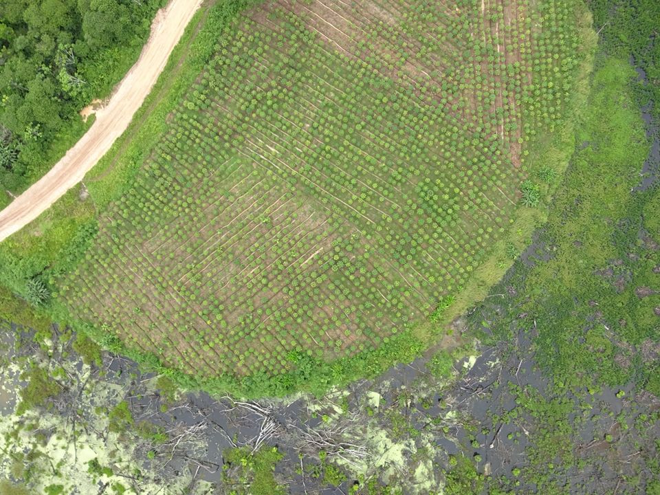

From May 8-12, 2017, the Terra-i team, together with staff from the DGOTA of Peru's Ministry of Environment, carried out the first field validation of vegetative land cover changes detected during Terra-i monitoring for 2016 and 2017, using the technology UAV. This work was carried out under the framework of the project “Sustainable Amazonian Landscapes”. The team carried out over-flights with a Phantom 3 advanced rotor drone and a fixed-wing Ebee drone in seven townships of Yurimaguas. The objective of this work was to recognize the dynamics of land cover and land use changes in the region while at the same time to validate the accuracy of the detections of forest loss being monitored by Terra-i in Yurimaguas.


The Terra-i team has worked hard on renovating Terra-i’s website since early this year. A set of new features on the website provides interactive contents and facilitates adaptation to the mobile devices of our users. The fresh website was developed using the latest update of an open-source, Java-based web system, Magnolia CMS 5.4.4. This update was customized to add different categories of interaction such as news, vegetation cover changes, and information, among others.

Globally more than 1 billion people depend on forests for their livelihoods. Forests play a crucial role in climate regulation, ecosystem services provision and regulation, water supply, carbon storage and many other functions that support biodiversity. Currently the global rate of deforestation is substantial, and there is a growing need for timely, spatially explicit data that flag natural vegetation changes due to human activities.

The latest update of Terra-i has been used with the Co$ting Nature ecosystem services assessment tool to understand the impacts of recent forest loss in Colombia on biodiversity and ecosystem services.

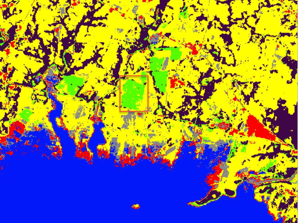
During the 1st and 12th of June 2015, the Terra-i team, together with the Instituto de Investigaciones de la Amazonía Peruana (IIAP) and the Universidad Nacional Agraria La Molina (VLIR-UNALM), conducted the second field validation of the data produced by the Terra-I system. This time, the study area was the Yurimaguas district, Alto Amazonas province, Loreto region (Peru). We used information on populated places, main roads, rivers and information on land cover changes detected for 2013, 2014 and 2015 to define the 65 sampling points (or Terra-I pixels) for the validation process (Figure 1).