

Bolivia moves towards better forest monitoring with the Terra-i tool


During the last 40 years, Bolivia has been experiencing high land use and land cover changes. Large and small scale activities such as immigration of farmers that practice subsistence agriculture, industrialized agriculture, and pasture establishment for livestock production have put considerable pressure on forests and natural resources. This December 2012, Louis Reymondin and Alejandro Coca spent five days training a team of researchers to use and implement the Terra-i system at the headquarters of the Bolivian National System of Monitoring and Information (SNIB), based in Cochabamba. Additionally, Louis and Alejandro gave a talk at an event held at the Universidad Amazónica de Pando based in Cobija to share their experiences about Terra-i as well as the preliminary results of the training workshop.
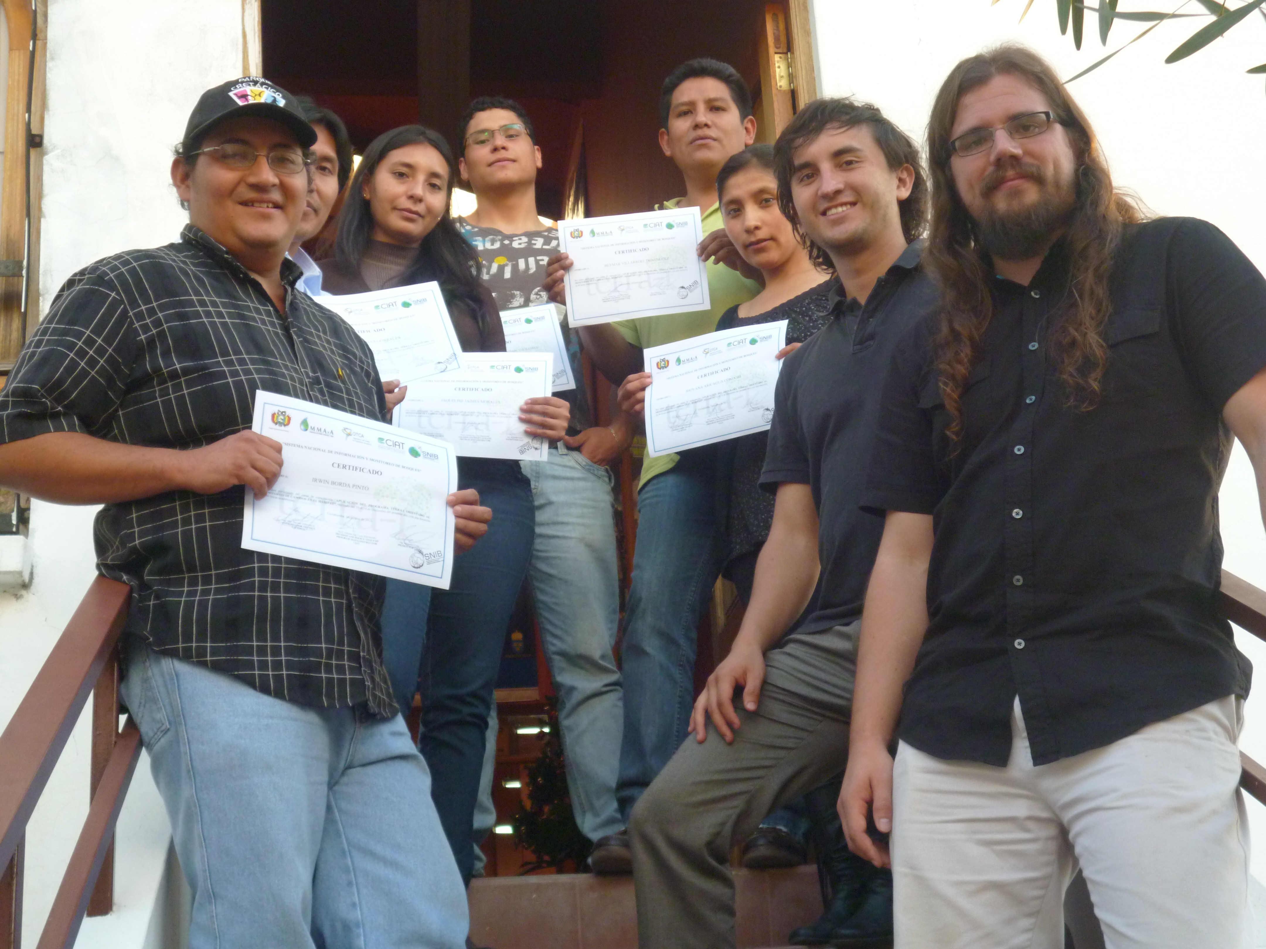
The team holding the first Terra-i certificates ever delivered. From left to right: Irwin Borda, Ohmar Gonzales, Jaqueline Jaimes, Marco Condarco, Beymar Villarroel, Jhovana Aricagua, Alejandro Coca and Louis Reymondin.
For the first time since the Terra-i project started, a great initiative has been developed between CIAT researchers and governmental institutions to strengthen their national forest monitoring systems. Now, two researchers from CIAT have travelled to the Bolivian National System of Monitoring and Information installations in Cochabamba to train the local team in the use of the Terra-i system. After five days of rewarding work, the strengths and weaknesses of the tool were identified and a schedule was established for 2013 for the eventual incorporation of Terra-i into the official national monitoring system.
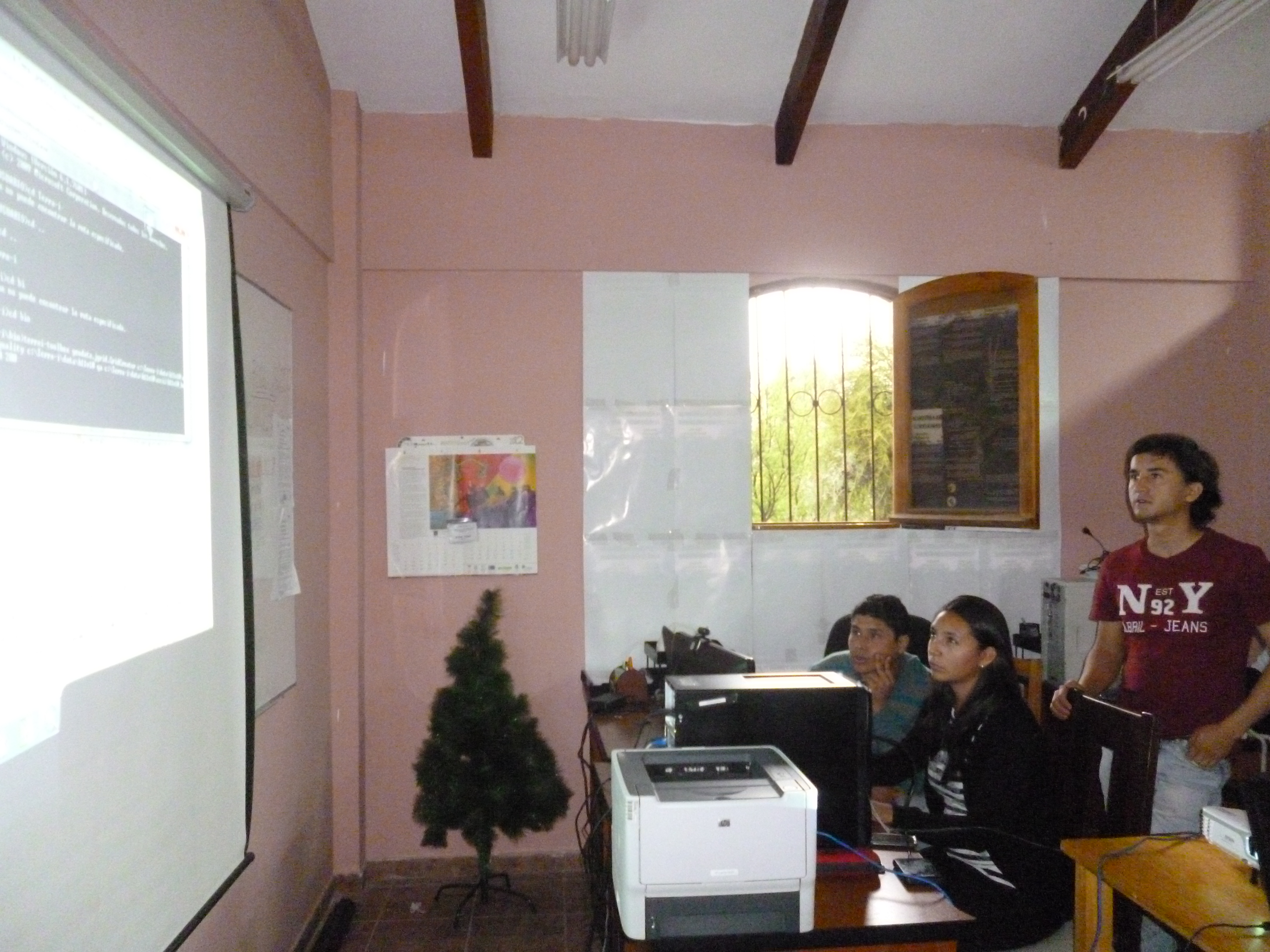
Technicians from the Bolivian National System of Monitoring and Information (SNIB) getting hands-on experience with the Terra-i tool.
In a second phase of their trip, both scientists headed to Cobija, located in the Pando department of Bolivia. There, they attended an event organized by the Universidad Amazónica de Pando, where a great and constructive talk took place about the opportunities and advantages that Terra-i offers. Participants at the event concluded that the opinions and data of researchers in the field, local experts and previous studies developed at the University should all be taken into account to fine-tune Terra-i’s calibration. There are great opportunities for collaboration between the University and CIAT, and the two institutions are now in contact to plan the implementation of Terra-i in their facilities and the training of the local academics with the support of SNIB experts.
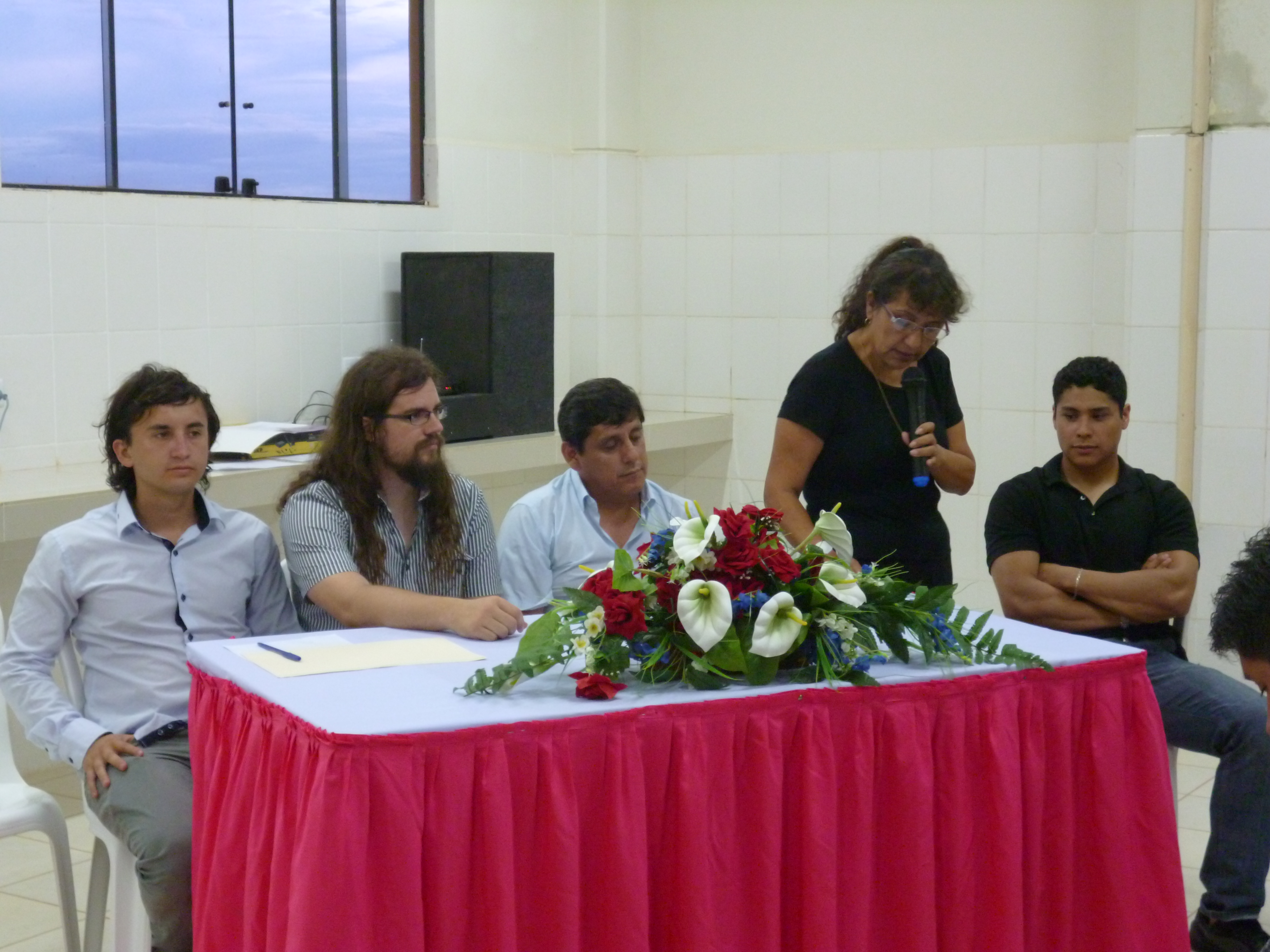
Closure of the event held at the Universidad Amazónica de Pando. From left to right, Alejandro Coca (CIAT), Louis Reymondin (CIAT), Msc. Ing. Ludwing Reynaldo Arciénega Baptista (Rector of the Universidad Amazónica de Pando), Marco Antonio Condarco Iglesias (Bolivian National System of Monitoring and Information - SNIB).
Finally, the Terra-i team wishes to kindly thank Wilson Rocha and the Nature Conservancy for their support, Beymar Villarroel and all the members of the Bolivian National System of Monitoring and Information for their hard work and the Universidad Amazónica de Pando for their warm welcome.
The article was authored by Louis Reymondin and Alejandro Coca
The Terra-i team wishes for all a happy and successful conclusion to the year 2012! A considerable set of innovations and new products to improve the tool will be delivered during the year 2013. Follow us on the website and project facebook page.


The Terra-i team together with CRS El Salvador under the Raices project carried out a virtual workshop through the teams platform to technicians from the Ministry of Environment and Natural Resources, CARITAS, Universidad El Salvador, CENTA, about the Mapping of land cover using remote sensors and open source tools such as GEE, SEPAL and QGIS- Plugin Semi Automatic Classification.


Near real-time vegetation loss detection in Southwestern Ethiopia: calibration, validation, and implementation of the Terra-i system


The Alliance of Bioversity International and the International Center for Tropical Agriculture (CIAT) (the Alliance) conducted a training for local stakeholders on the use of Terra-i as part of the collaboration with the Netherlands Development Organisation – SNV in the Coffee Agroforestry and Forest Enhancement for REDD+ (CAFÉ-REDD) Project.


From May 8-12, 2017, the Terra-i team, together with staff from the DGOTA of Peru's Ministry of Environment, carried out the first field validation of vegetative land cover changes detected during Terra-i monitoring for 2016 and 2017, using the technology UAV. This work was carried out under the framework of the project “Sustainable Amazonian Landscapes”. The team carried out over-flights with a Phantom 3 advanced rotor drone and a fixed-wing Ebee drone in seven townships of Yurimaguas. The objective of this work was to recognize the dynamics of land cover and land use changes in the region while at the same time to validate the accuracy of the detections of forest loss being monitored by Terra-i in Yurimaguas.


The Terra-i team has worked hard on renovating Terra-i’s website since early this year. A set of new features on the website provides interactive contents and facilitates adaptation to the mobile devices of our users. The fresh website was developed using the latest update of an open-source, Java-based web system, Magnolia CMS 5.4.4. This update was customized to add different categories of interaction such as news, vegetation cover changes, and information, among others.


Globally more than 1 billion people depend on forests for their livelihoods. Forests play a crucial role in climate regulation, ecosystem services provision and regulation, water supply, carbon storage and many other functions that support biodiversity. Currently the global rate of deforestation is substantial, and there is a growing need for timely, spatially explicit data that flag natural vegetation changes due to human activities.


The latest update of Terra-i has been used with the Co$ting Nature ecosystem services assessment tool to understand the impacts of recent forest loss in Colombia on biodiversity and ecosystem services.


During the 1st and 12th of June 2015, the Terra-i team, together with the Instituto de Investigaciones de la Amazonía Peruana (IIAP) and the Universidad Nacional Agraria La Molina (VLIR-UNALM), conducted the second field validation of the data produced by the Terra-I system. This time, the study area was the Yurimaguas district, Alto Amazonas province, Loreto region (Peru). We used information on populated places, main roads, rivers and information on land cover changes detected for 2013, 2014 and 2015 to define the 65 sampling points (or Terra-I pixels) for the validation process (Figure 1).